Look through the photo album for scenes of the Boroughs over the last 150 years...


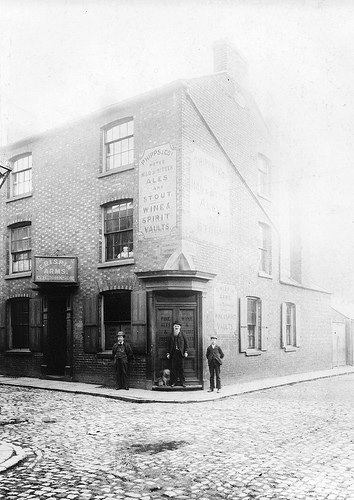
THE PUBS IN THE BOROUGHS
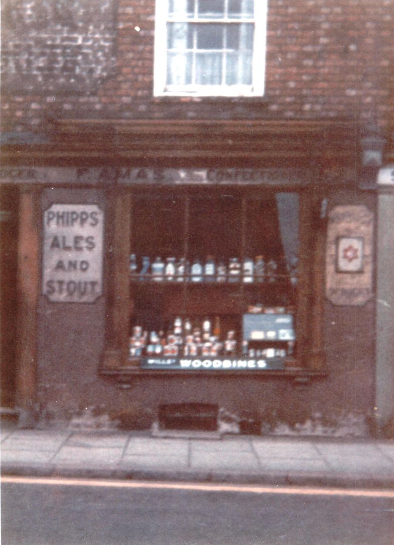
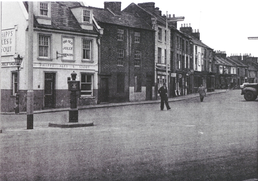
In 1901 there were 82 public houses in the Boroughs...at least one on every street. The Boroughs had a reputation for hard drinking since the 1850s when Richard Rowe described the "beery" men to be found in the locality. For the male shoeworkers the public house was one of the few leisure activities they could afford to enjoy and the "pub" was so readily available just doors from home.
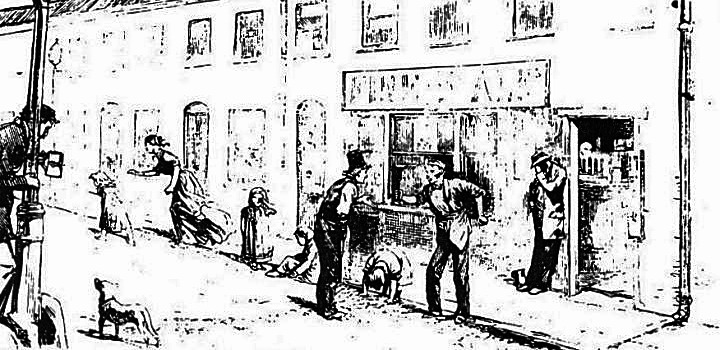
"" ..vixenish women and beery men, in and outside of low "publics", are the salient features of Snobopolis (the Boroughs). In one of the streets I saw a fierce young mother box her child's ears savagely for dabbling in the mire, and then pursue and savagely drub the neighbour's child who had tempted her offspring to dabble. "There you", "little snob", exclaimed the snob's wife, "you come an' take my Bill down into the muck agin, will yer?"
Richard Rowe, 1869

<
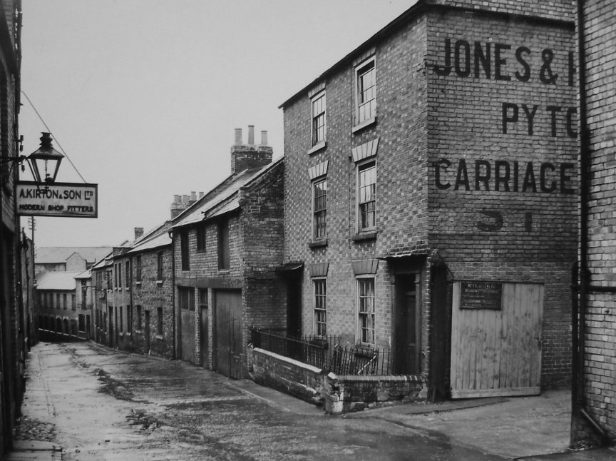
Green Dragon The Mayorhold
The Spotted Dog Crane Hill
The Quart Pot Inn Doddridge Street
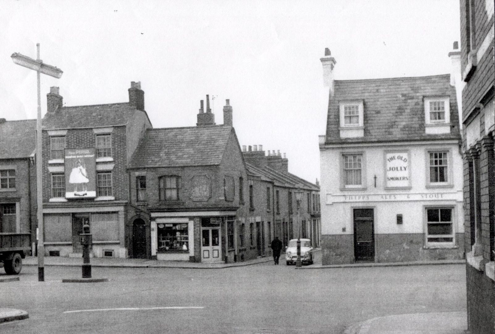
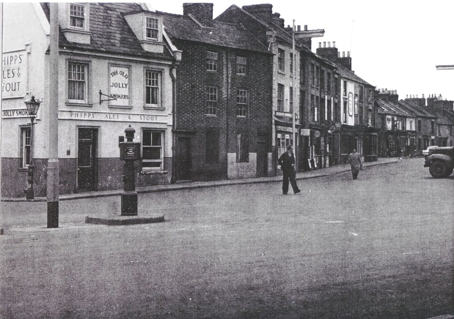
Old Jolly Smokers The Mayorhold
Bakers' Arms Castle Street

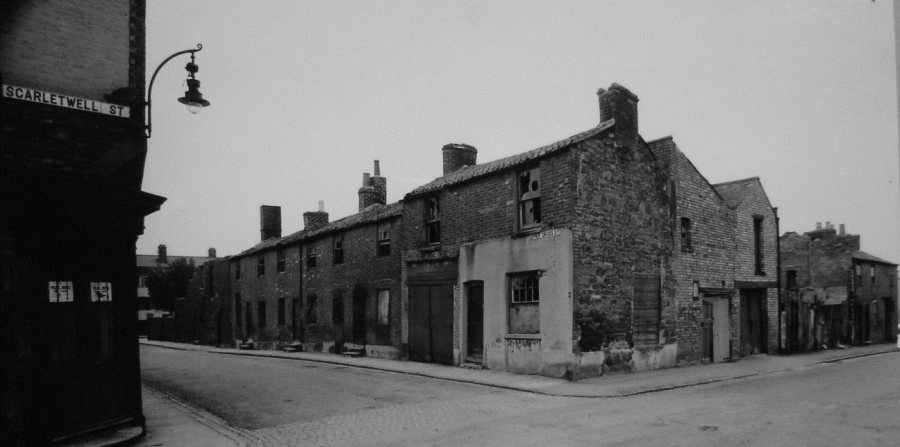
The Rivetters' Arms Scarletwell Street
The King's Head The Mayorhold
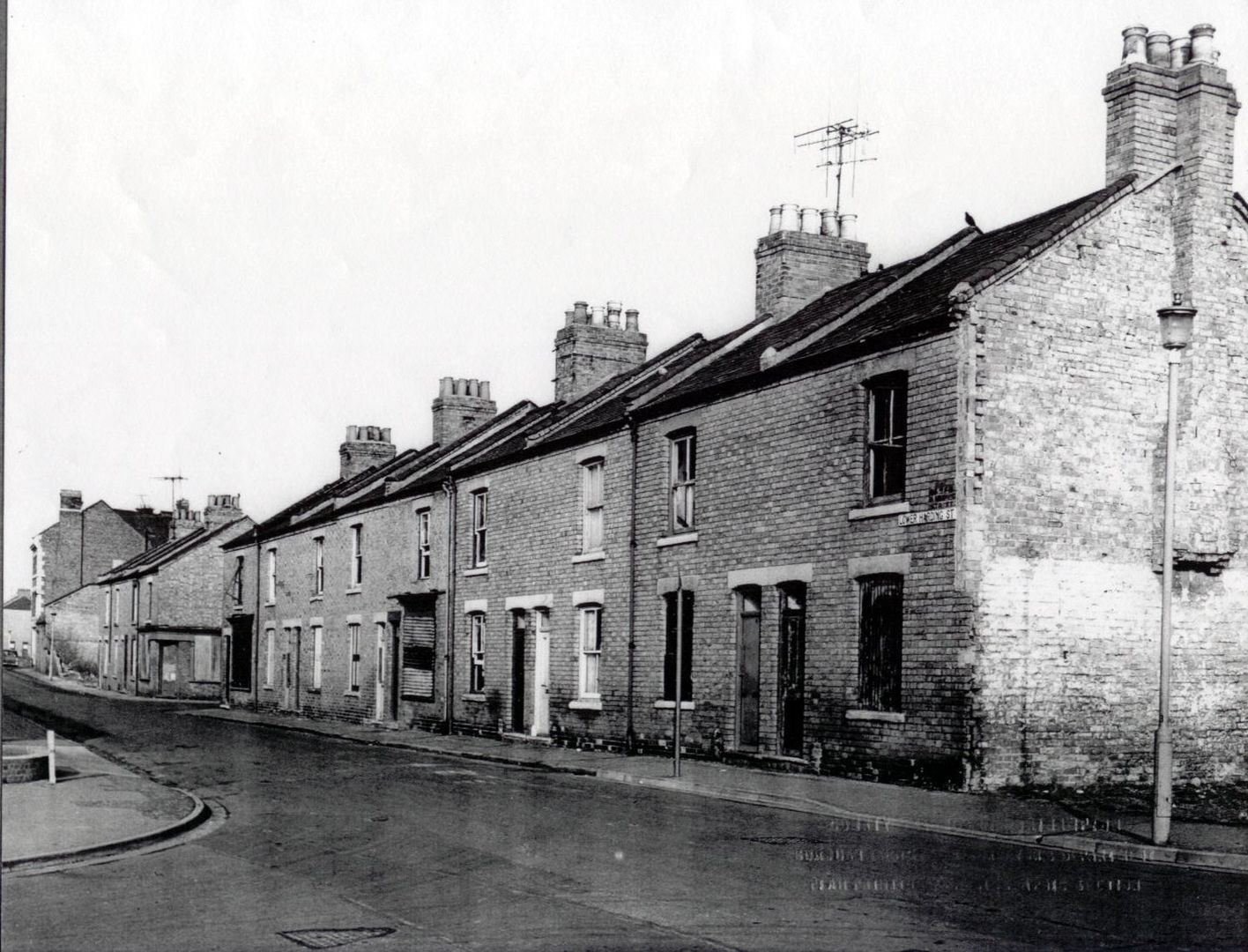
Old Twenty Fives Lower Harding Street
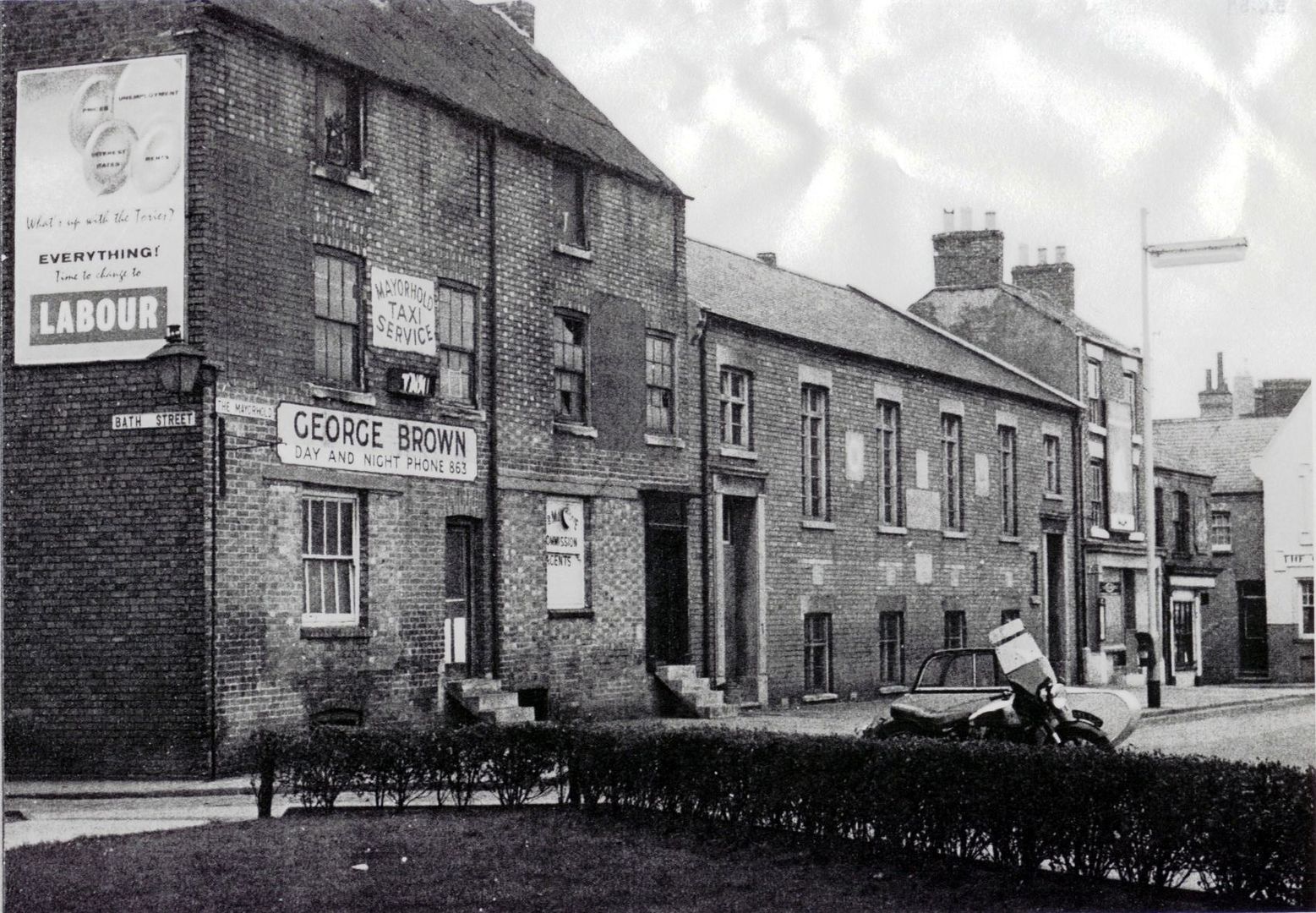
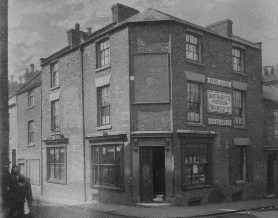
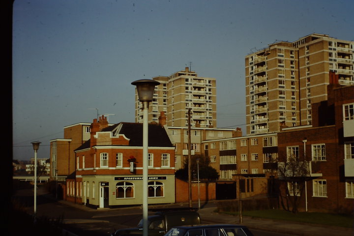
Sportsman's Arms Bath Street
The Moat St Mary's Street
Curriers' Arms The Mayorhold

The Crispin Arms Upper Cross Street
MEMORIES OF THE BOROUGHS - 1940s
Ray Coles was born in the Boroughs in the early 1940s and his memories are still vivid of people and places.
"I was born in Lower Harding Street right opposite Spring Lane School. All our family went to that school. I knew the Boroughs like the back of my hand. There was a
jellied eel shop in Bearward Street (below) which was run by Ma Hodges...she was a funny woman. One Friday night she danced naked on the counter of "the Bear". She was as mad as a hatter when the
drink took her. She ended up braining her husband with a beer bottle - nearly killed him, she did..."
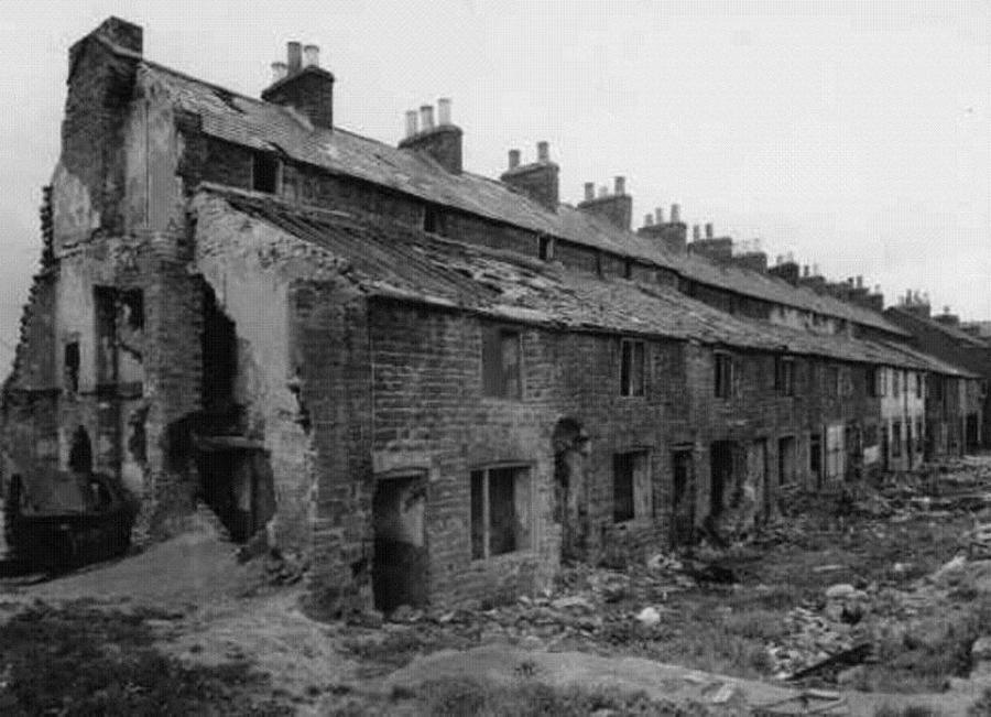
Bearward Street 1960s
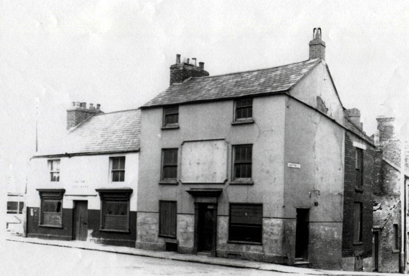
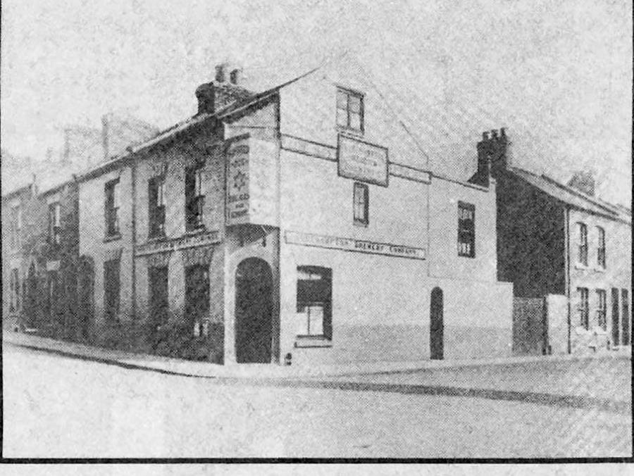
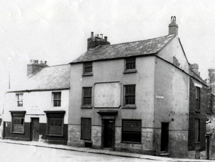
"In Grafton Street was the Post Office and the Old Twenty Fives public house" Ray recalls. "When I was a kid my pals would lower me on a rope into the cellar of the pub and I used to pinch the empty beer bottles and get the deposit money back on them...then we had enough money to pay for the flicks (cinema)"
"The Post Office was owned by Miss Lucy Starmer...she was a bit of a dragon - she never married. I don't think any man would have dared ask
her !"
Old Post Office (left) in Lower Harding Street and Old Twenty Fives (right) in Grafton Street 1950s
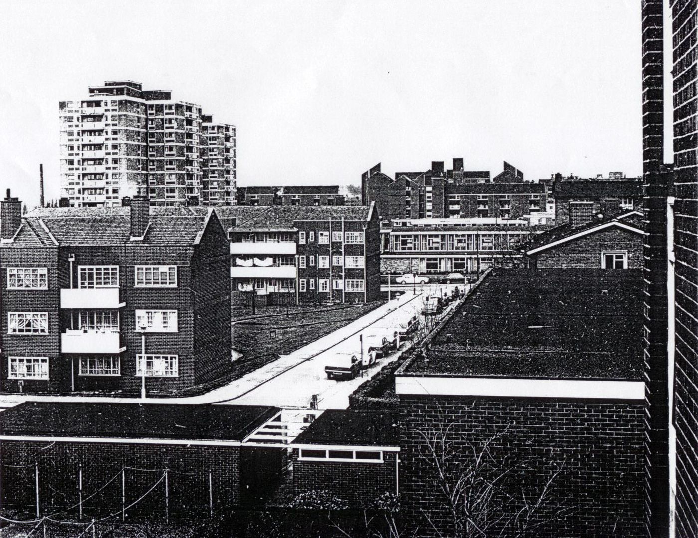
THE BOROUGHS - NOW AND THEN
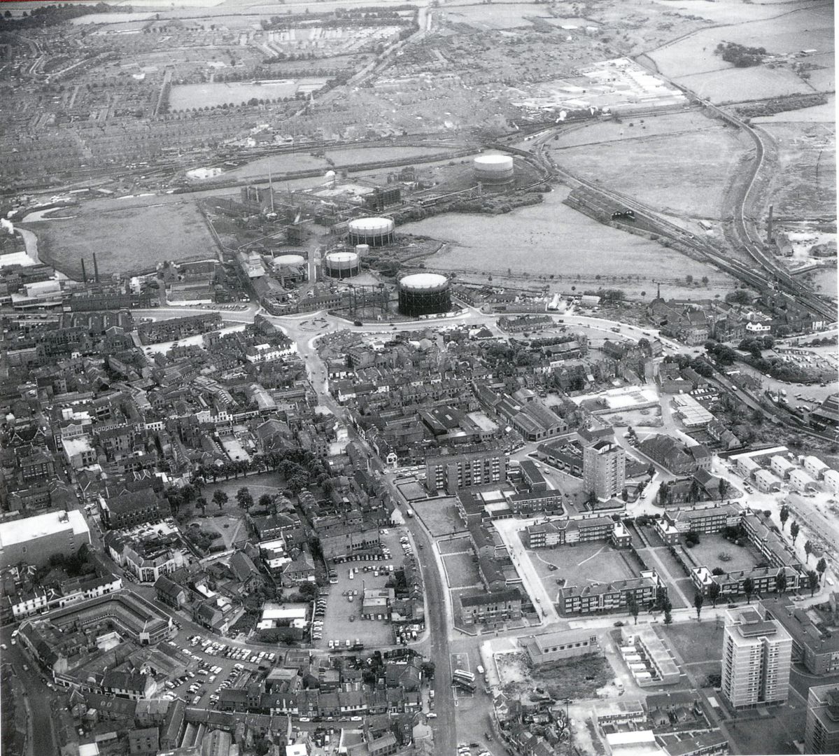
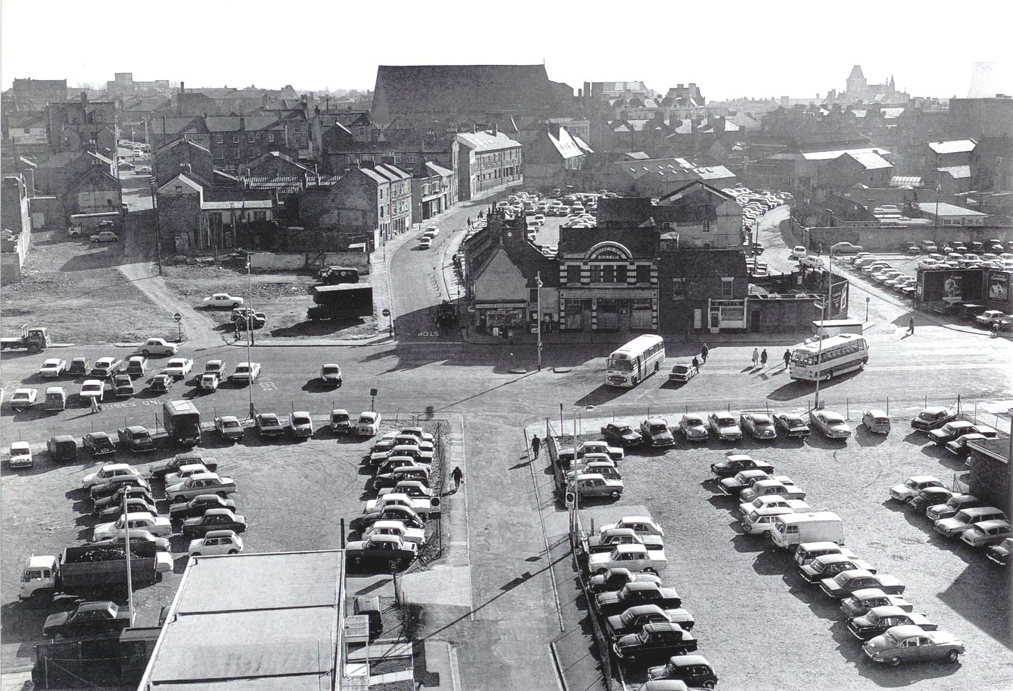
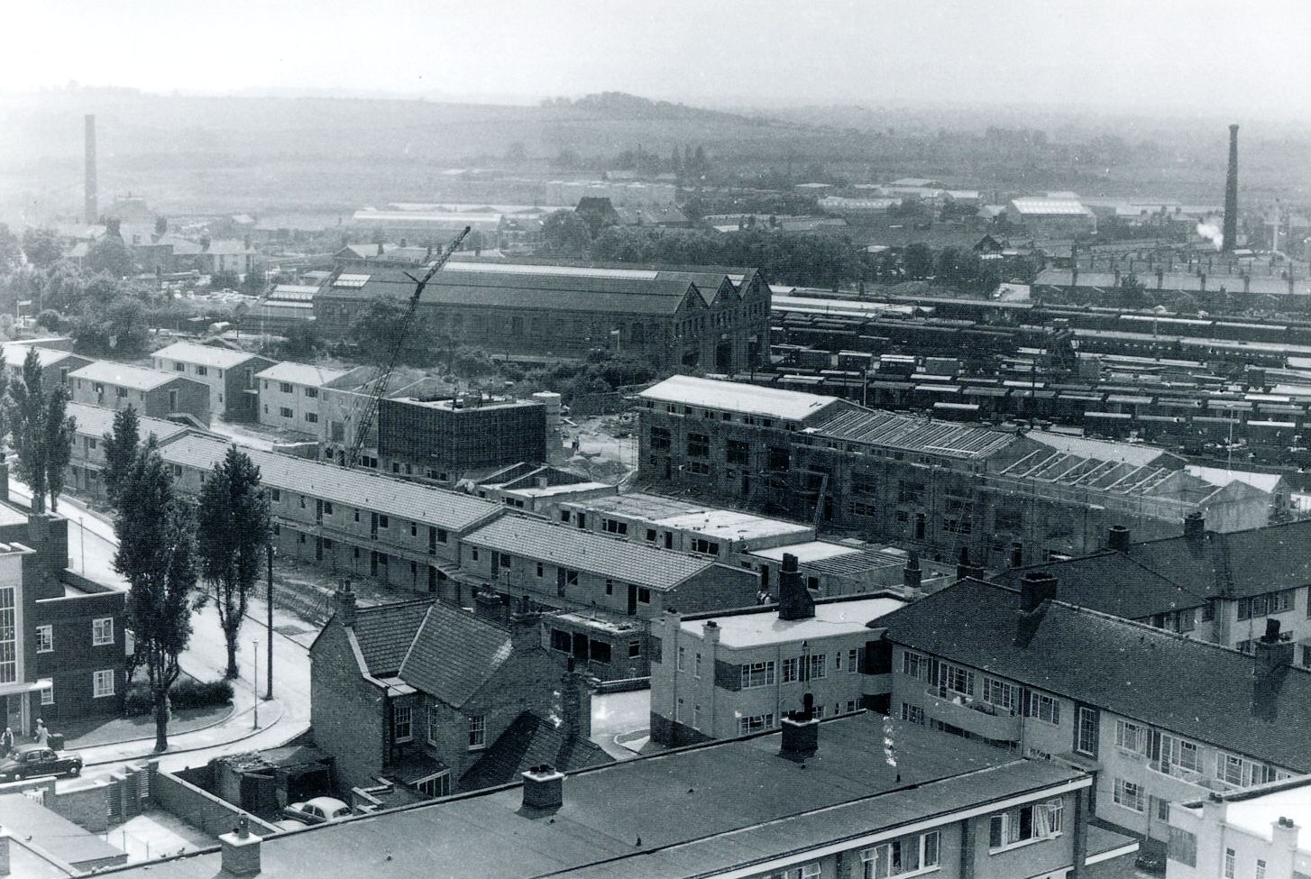
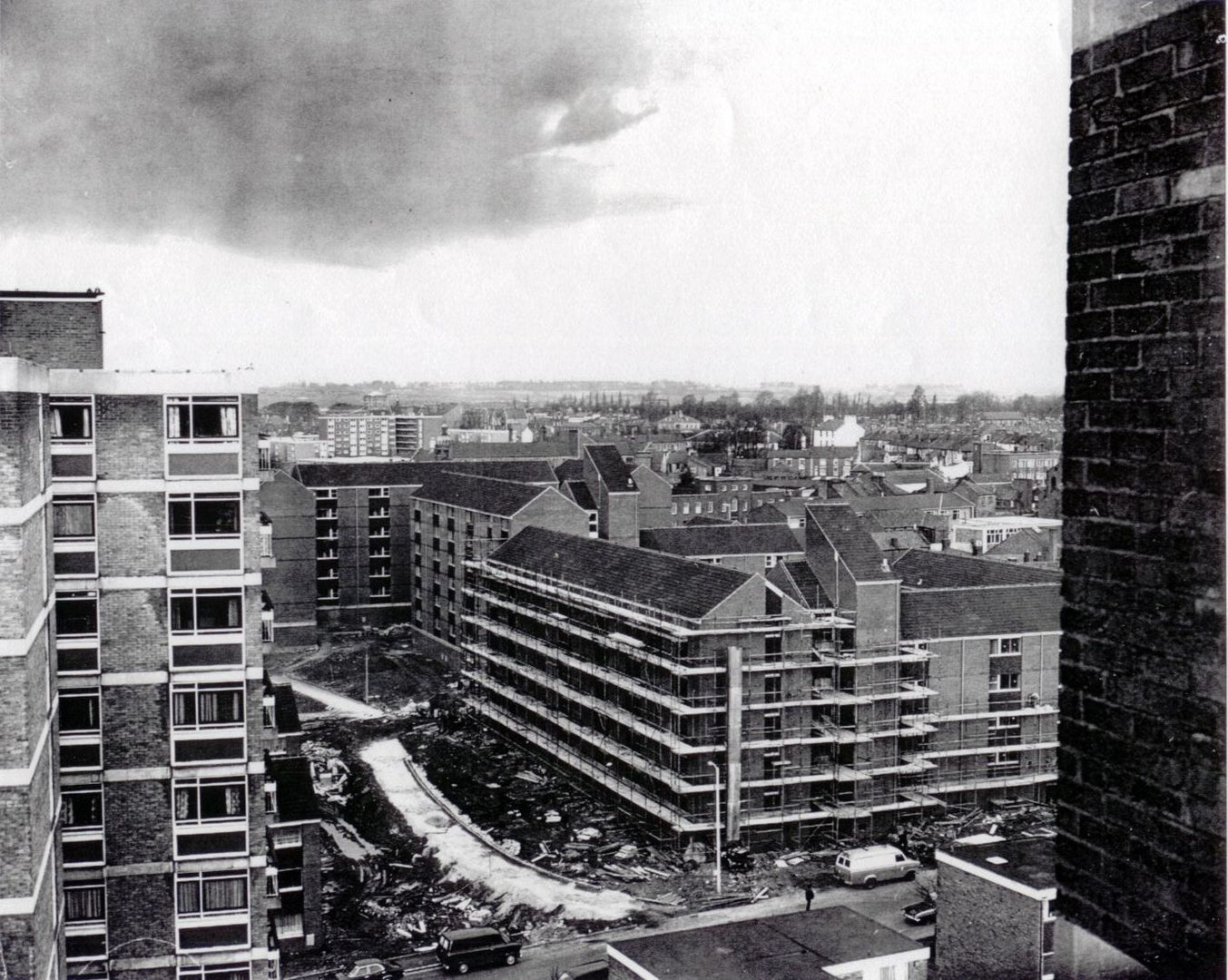
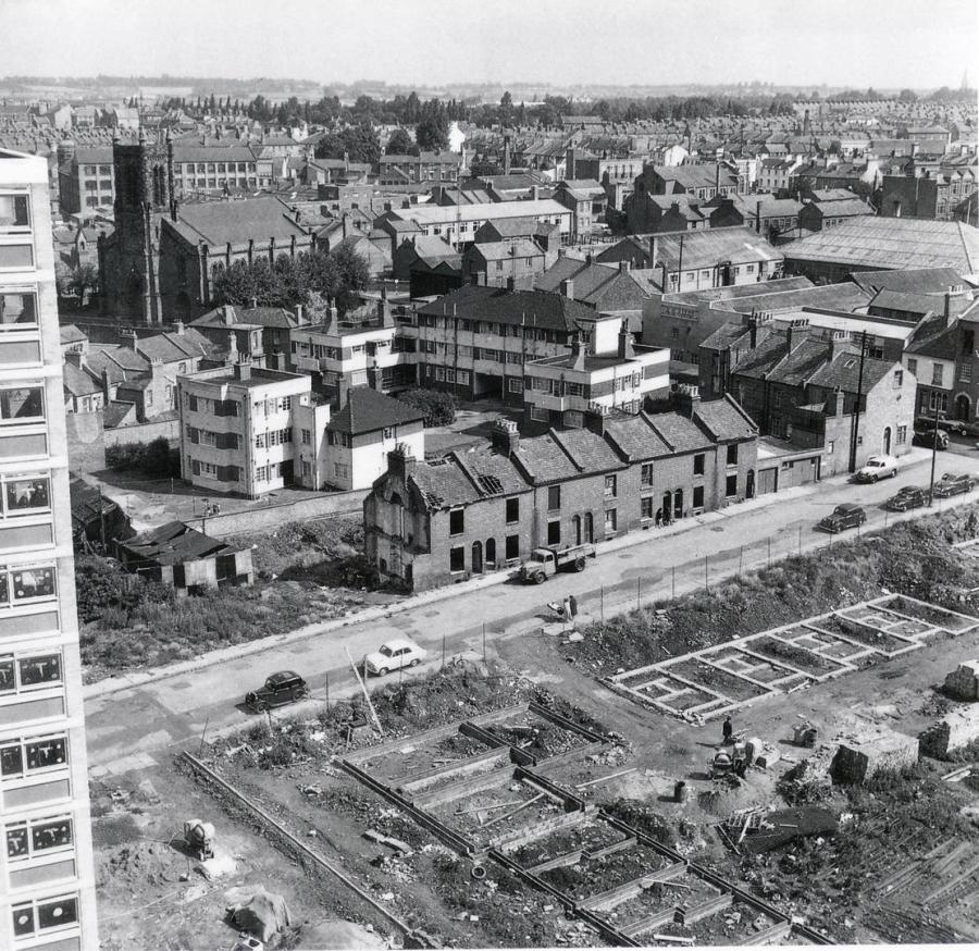
In the 1960s there was widespread demolition and rebuild in the Boroughs; in the late 1960s the area underwent radical redevelopment - many streets of terraced houses
were destroyed and replaced with a variety of modern flats with some ugly multi-storey housing, the first of these being St Katherine's House in 1957 (centre top of image below)
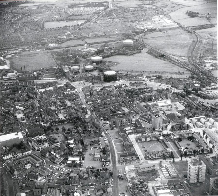
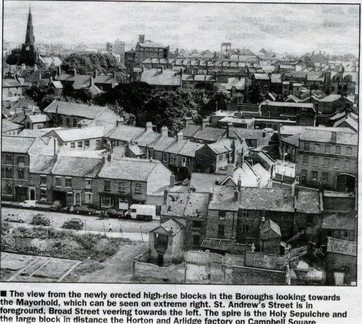
Aerial view of the Boroughs 1965
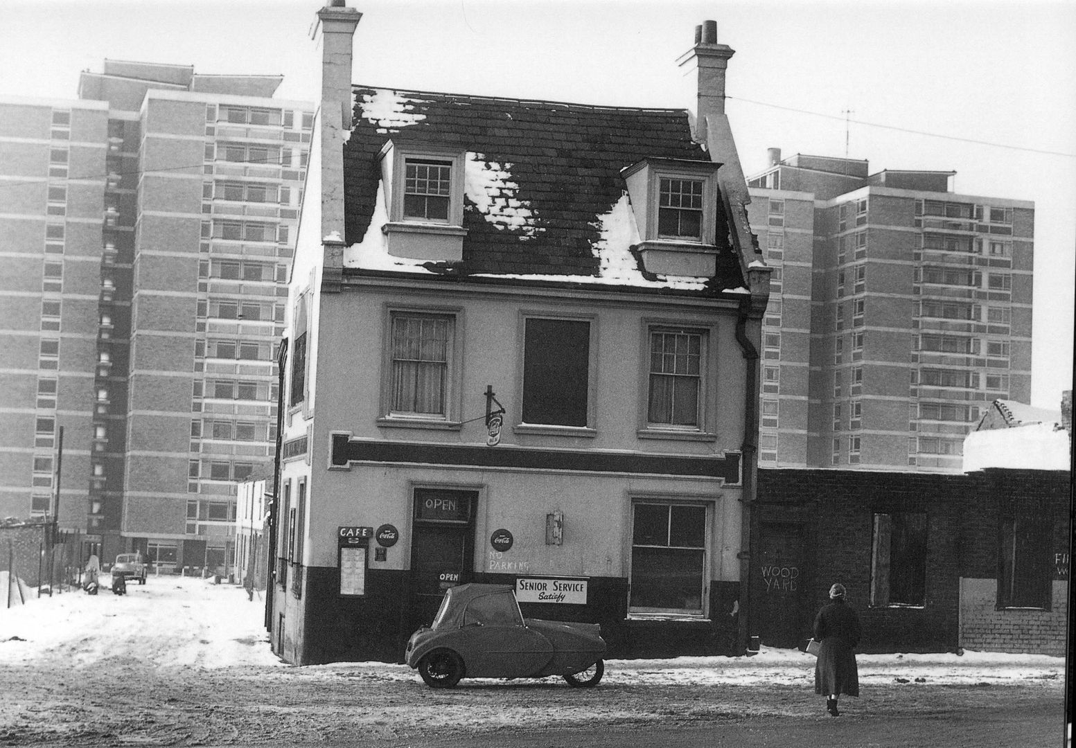
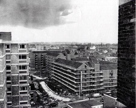
More high rise flats appeared when Beaumont and Claremont Courts were built in 1963. Although it had always been a poor district of Northampton, the Boroughs had
laways had a strong community; the people who lived there were badly affected by the destruction of an established residential area.
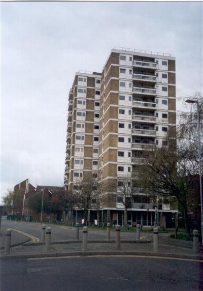
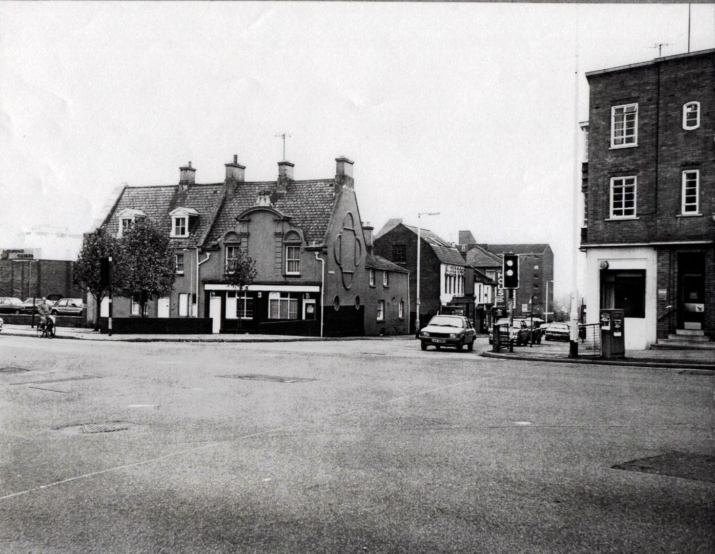
Beaumont and Claremont Courts 2004
THE BOROUGHS IN THE VICTORIAN PERIOD
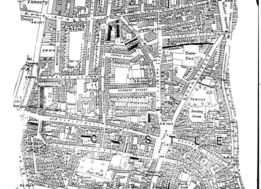
OS Map of the Boroughs 1901
This was the central part of the Boroughs in 1901. One of the supposed reasons for its name was that the layout of the area was in terraced streets of tightly packed
houses like rabbit burrows.
Spring Lane School at this time is hemmed in by streets of terraced houses. St Andrew's Church can be seen (centre, top) and the Mayorhold (top).
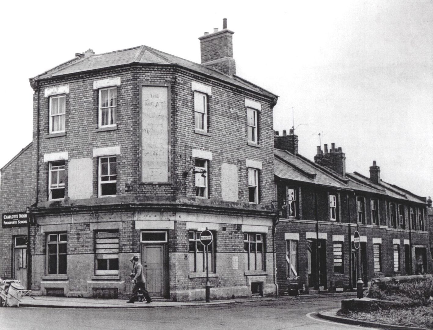
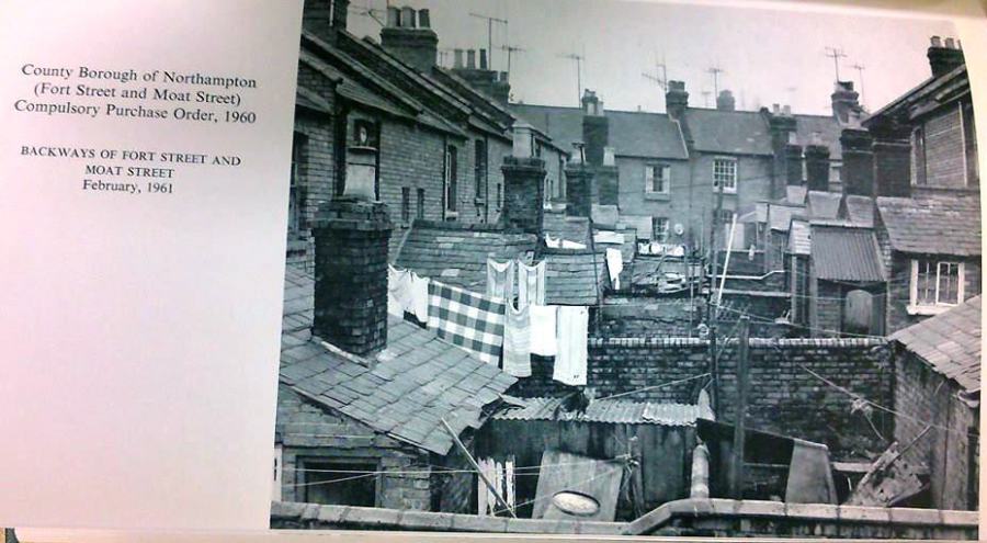
Many of the towns slums were located in the Boroughs at this time with shuts like Moat Street (below) and Fort Street being notoriously needy
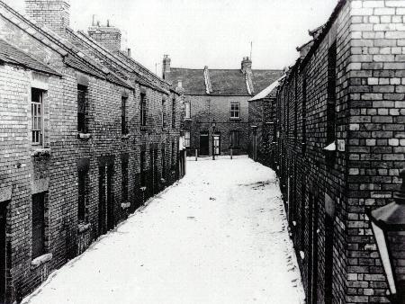
Moat Place 1972 shortly before demolition
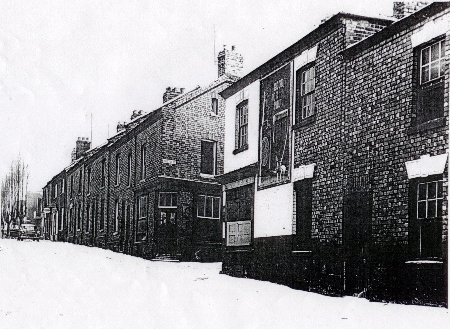
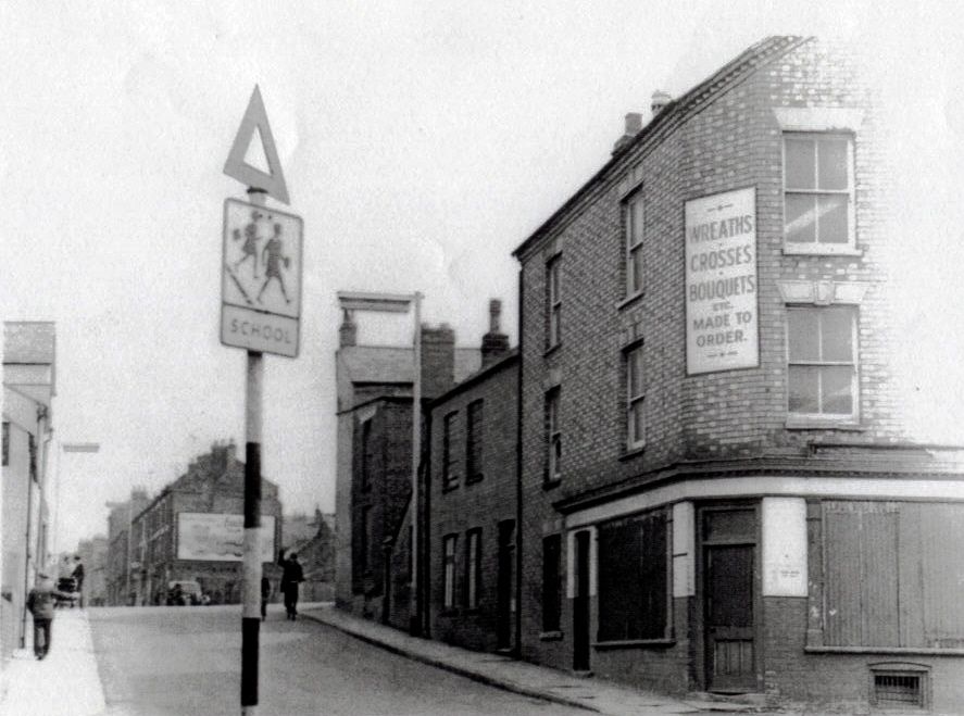
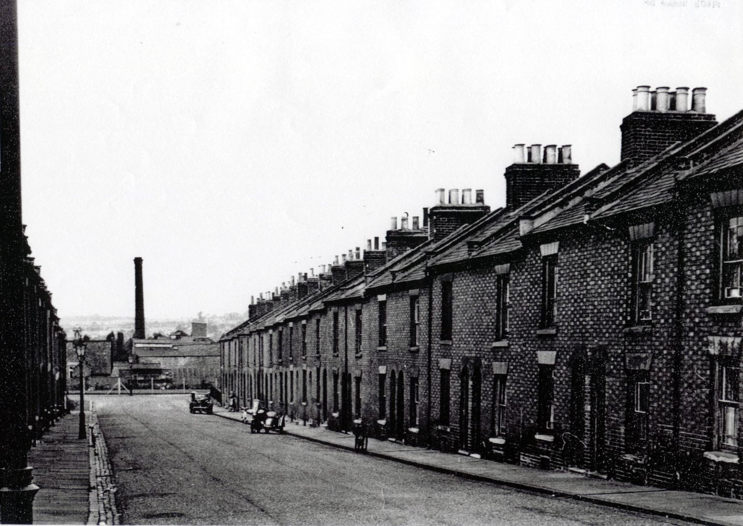
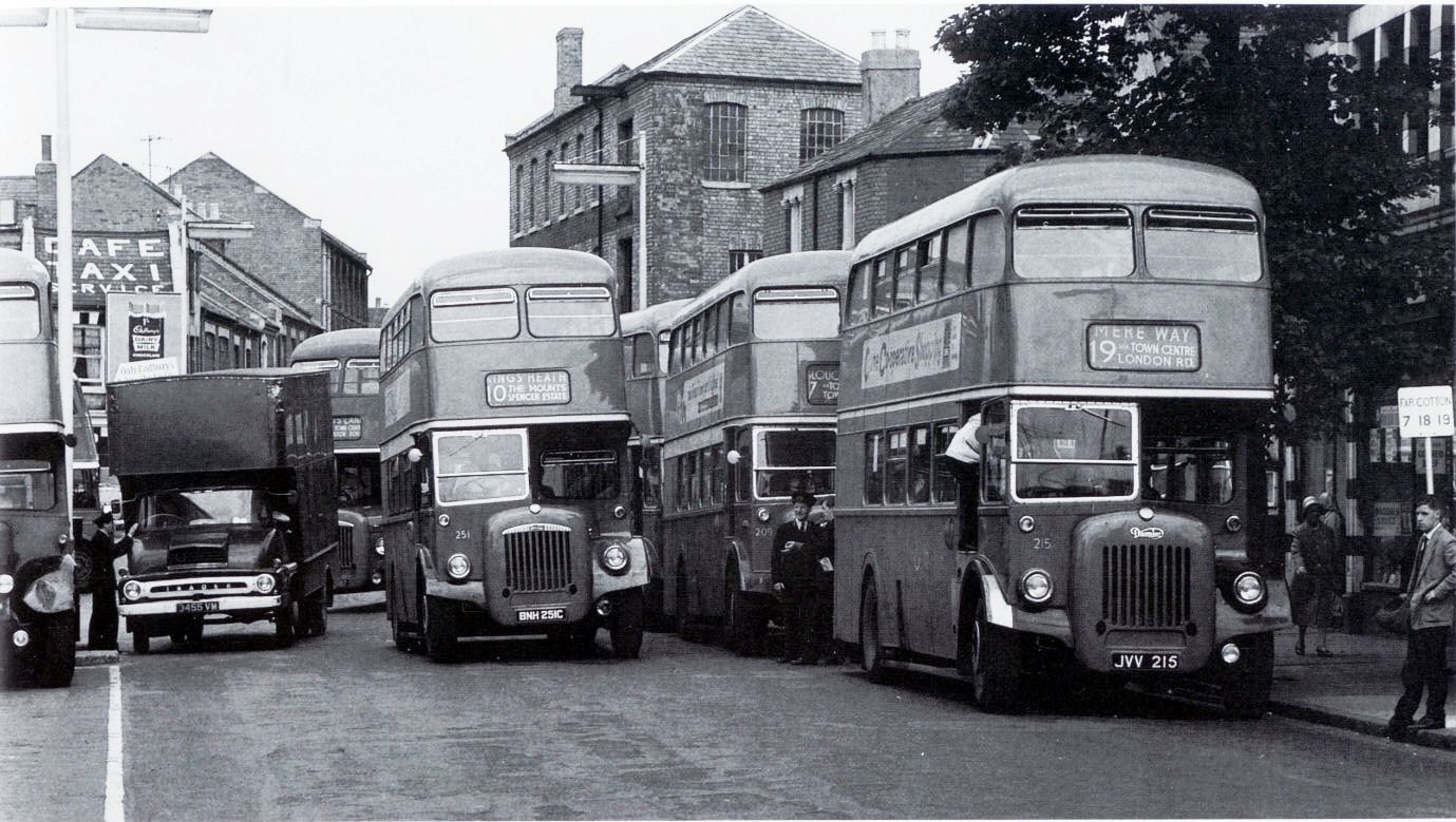
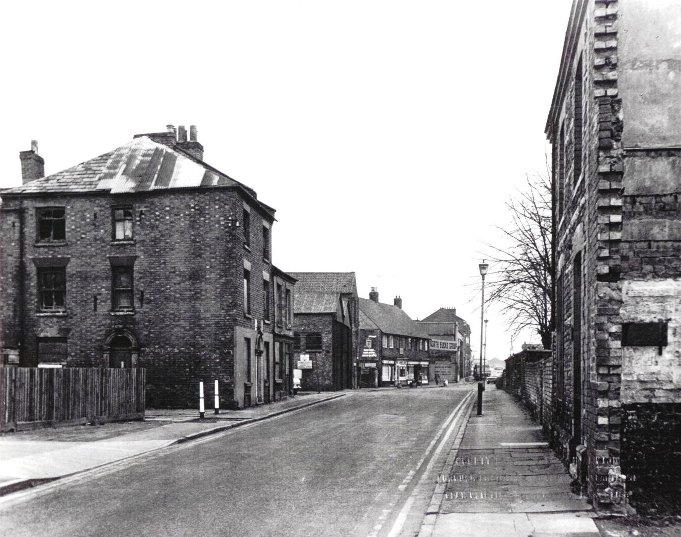
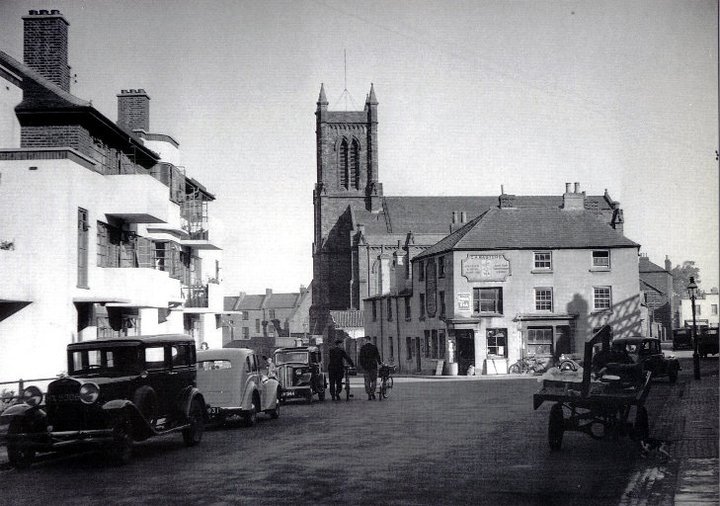
BRISTOL STREET
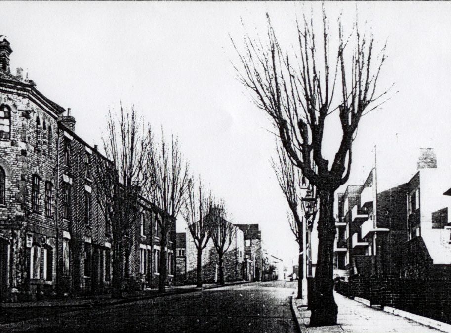
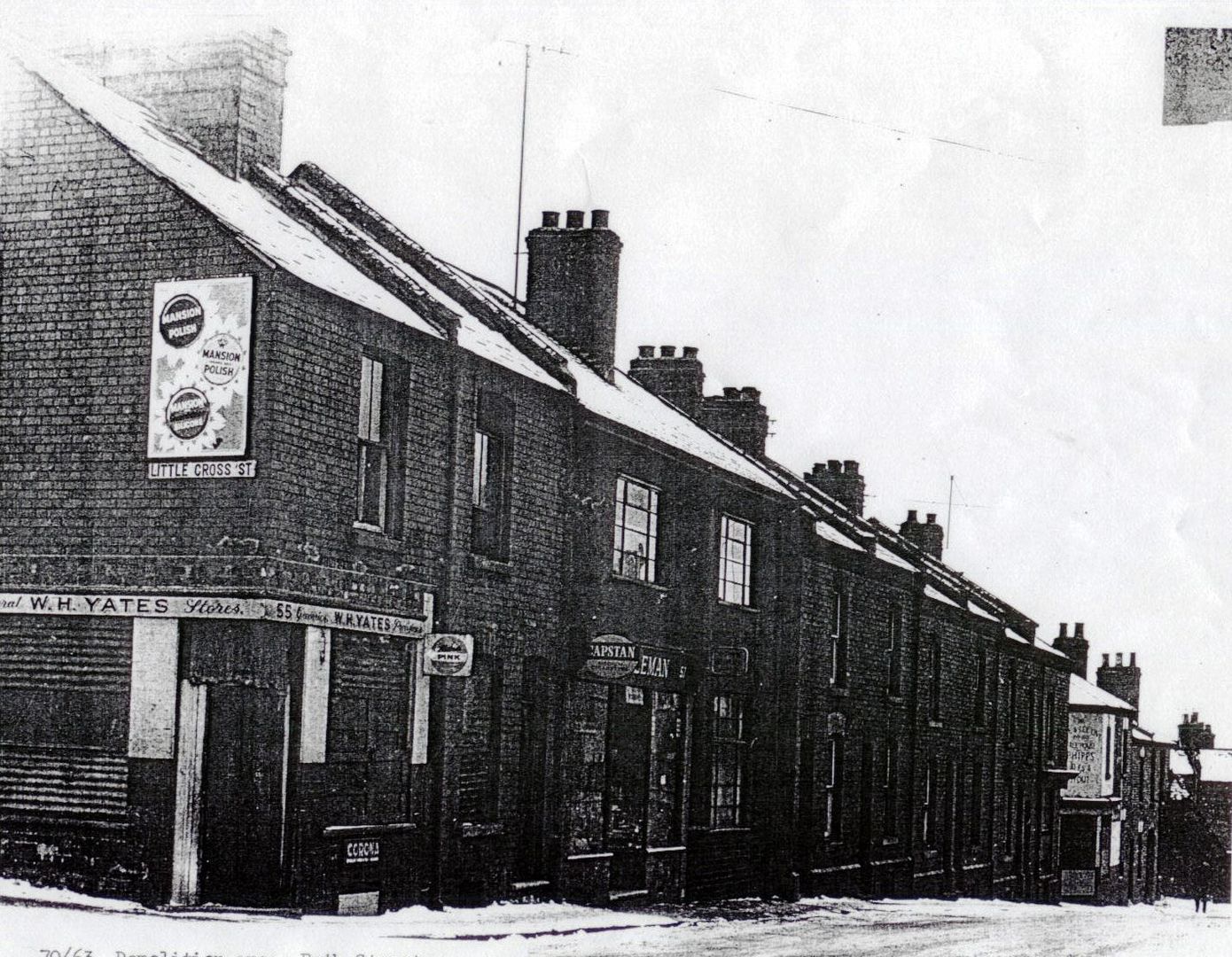
CASTLE STREET AND LITTLE CROSS STREET

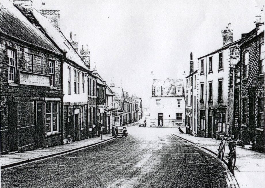
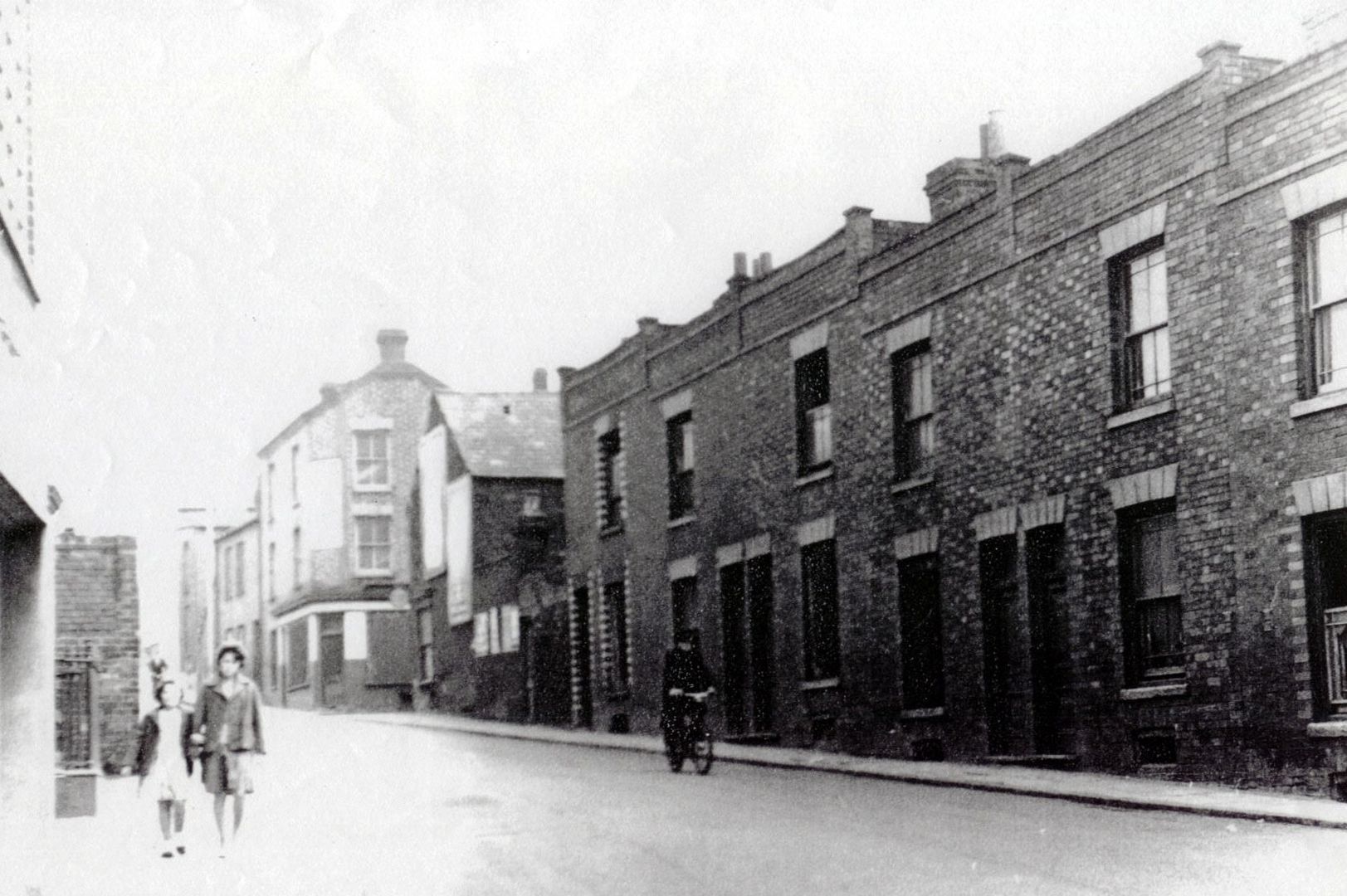
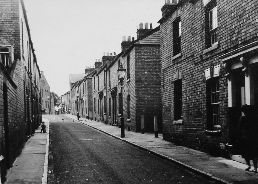
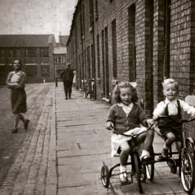
STREETS OF THE BOROUGHS
Most of the houses built in the Boroughs before 1970 have gone, demolished in the "development" of the area. Some streets have vanished completely. Others are changed
beyond recognition.
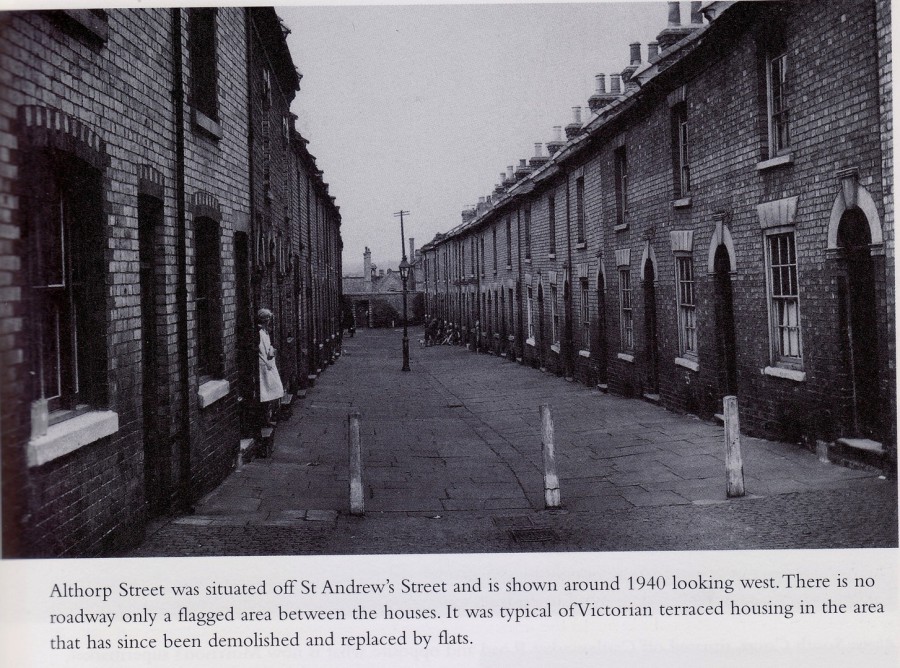
ALTHORP STREET
BELL BARN STREET
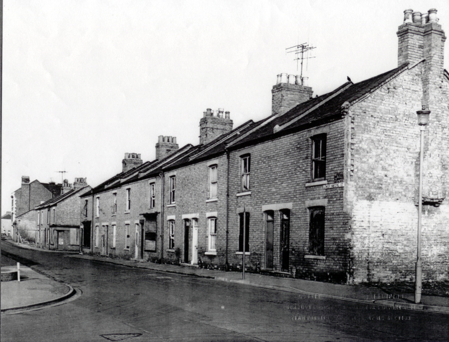
LOWER HARDING STREET
MONKS POND STREET
UPPER CROSS STREET
BATH STREET

CRANE HILL

ST MARY'S STREET

GRAFTON PLACE
Grafton Place was a short street which ran off Grafton Street; the church of St Andrew's can be seen at the end of the road. This view is from the 1950s; coal fires
emit a constant smog over the Boroughs and the cobbled streets are damp with winter rain. Grafton Place was demolished in the 1970s
COMPTON STREET
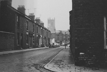
ST ANDREW'S STREET
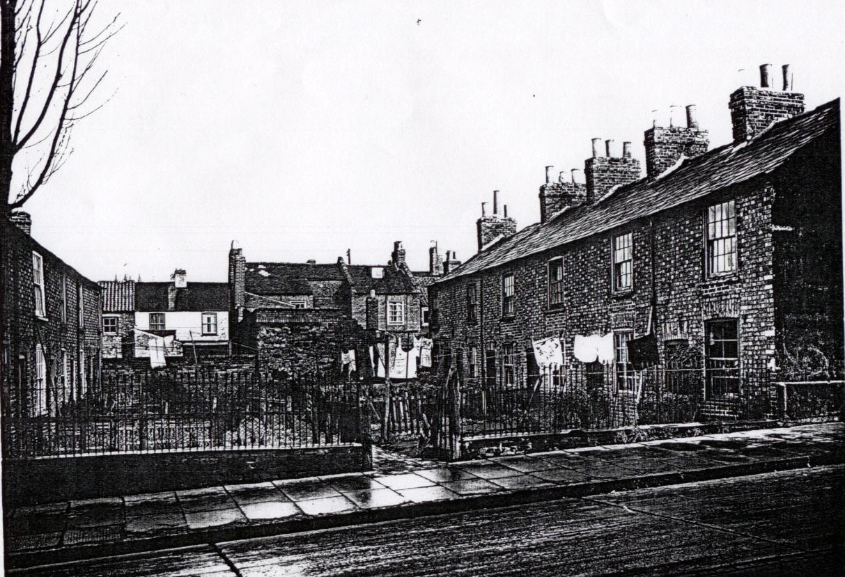
BATH SQUARE

Bath Square was still in existence as late as the 1970s; it was small square of houses near the top of Bath Street. The frontage of the houses was provided with
gardens or at least waste ground suitable for erecting a washing line. There was little privacy; the small plots of earth are bounded by wicket fencing and the houses all overlook each other. In days
past when communities were close, this would have provided an opportunity to snatch a conversation with a neighbour
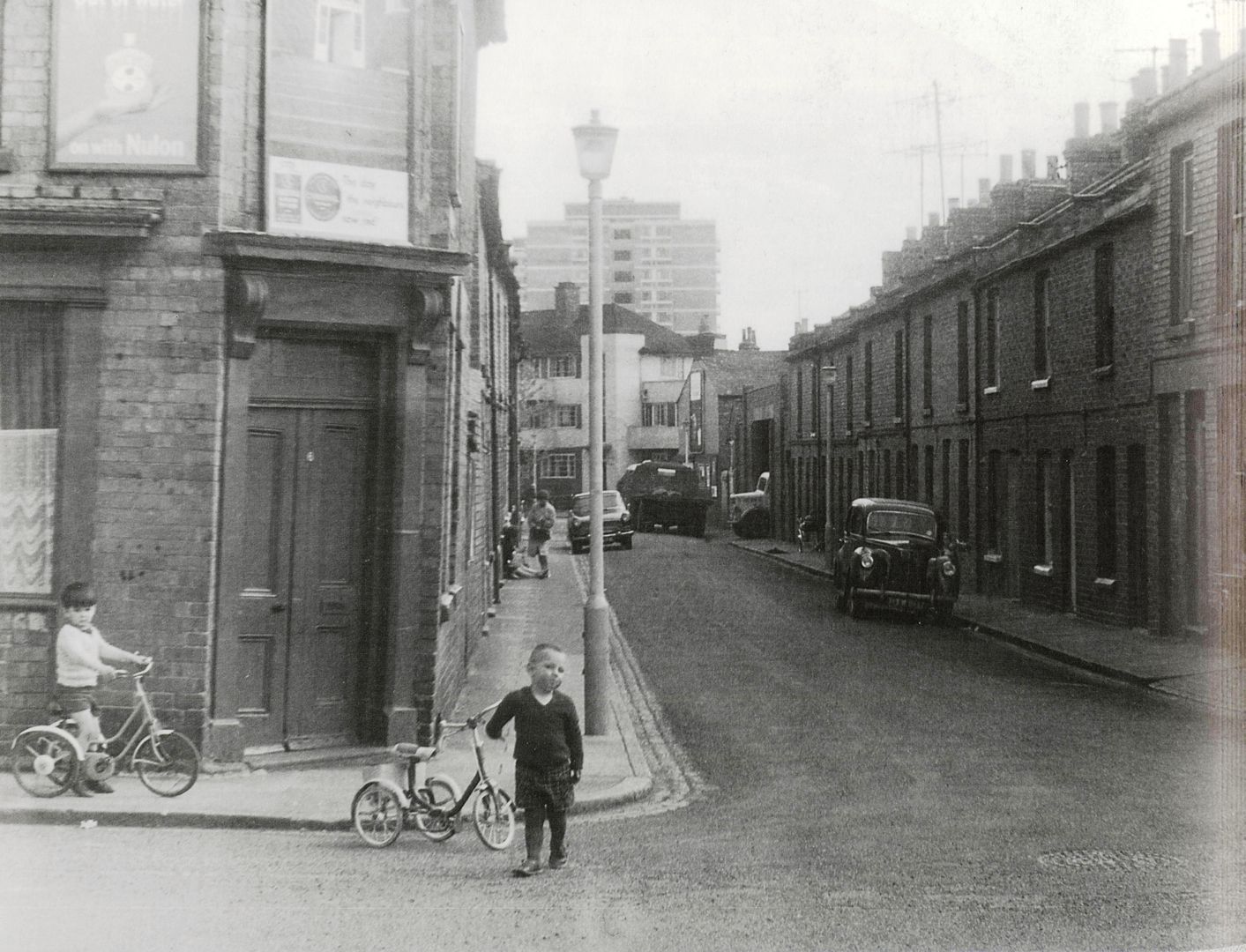
HERBERT STREET
Herbert Street now lies beneath Claremont Court, or one of the new Life Apartments, as they are now called. Here, it is seen in the final stages of demolition, in
1963; the photo is taken from the top of Beaumont Court. This view also shows the whitewashed art-deco flats which had already eclipsed earlier Victorian cottages when they were built in the 1930s;
these flats were themselves to disappear in the early 1970s to make way for St John's House.
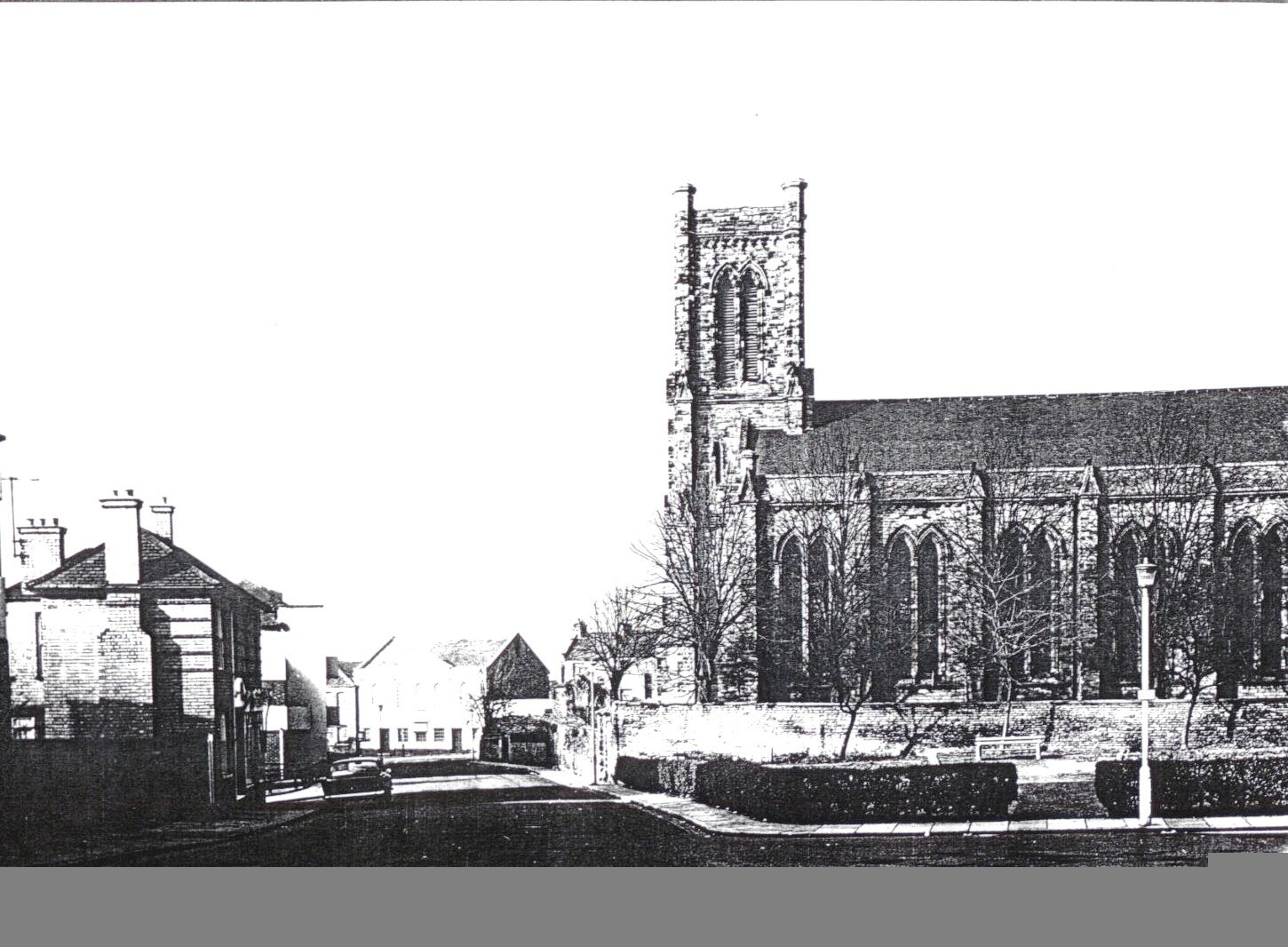
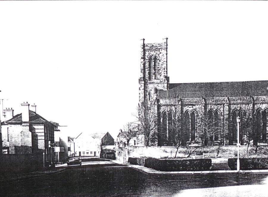
St Andrew's Church has survived too but not for much longer - it too was demolished in the 1970s. In the photograph, houses survive in St Andrew's Street and beyond can be seen the terraced housing
in the Mounts. To the left is Marlow's Shoe Factory in St George's Street
The complete transformation was well on its way when this picture was taken (1963)
COOPER STREET

Cooper Street is the street in the foreground - a curious dog-leg bend occurring just before it meets Bell Barn Street opposite St Andrew's Church. Cooper Street was a Victorian terraced street built to house the growing numbers of shoe workers living in the Boroughs at the end of the nineteenth century. It was demolished in the early 1970s and is now beneath St Barnabas House (see below).
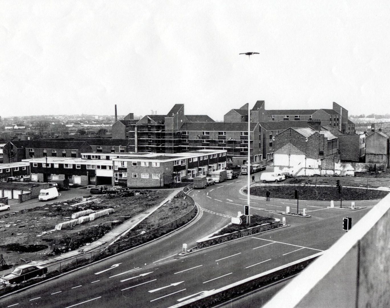
The new multi-storey housing, seen whilst in the process of construction in the early 1970s, obliterated a large area of the Boroughs including much of the
Mayorhold
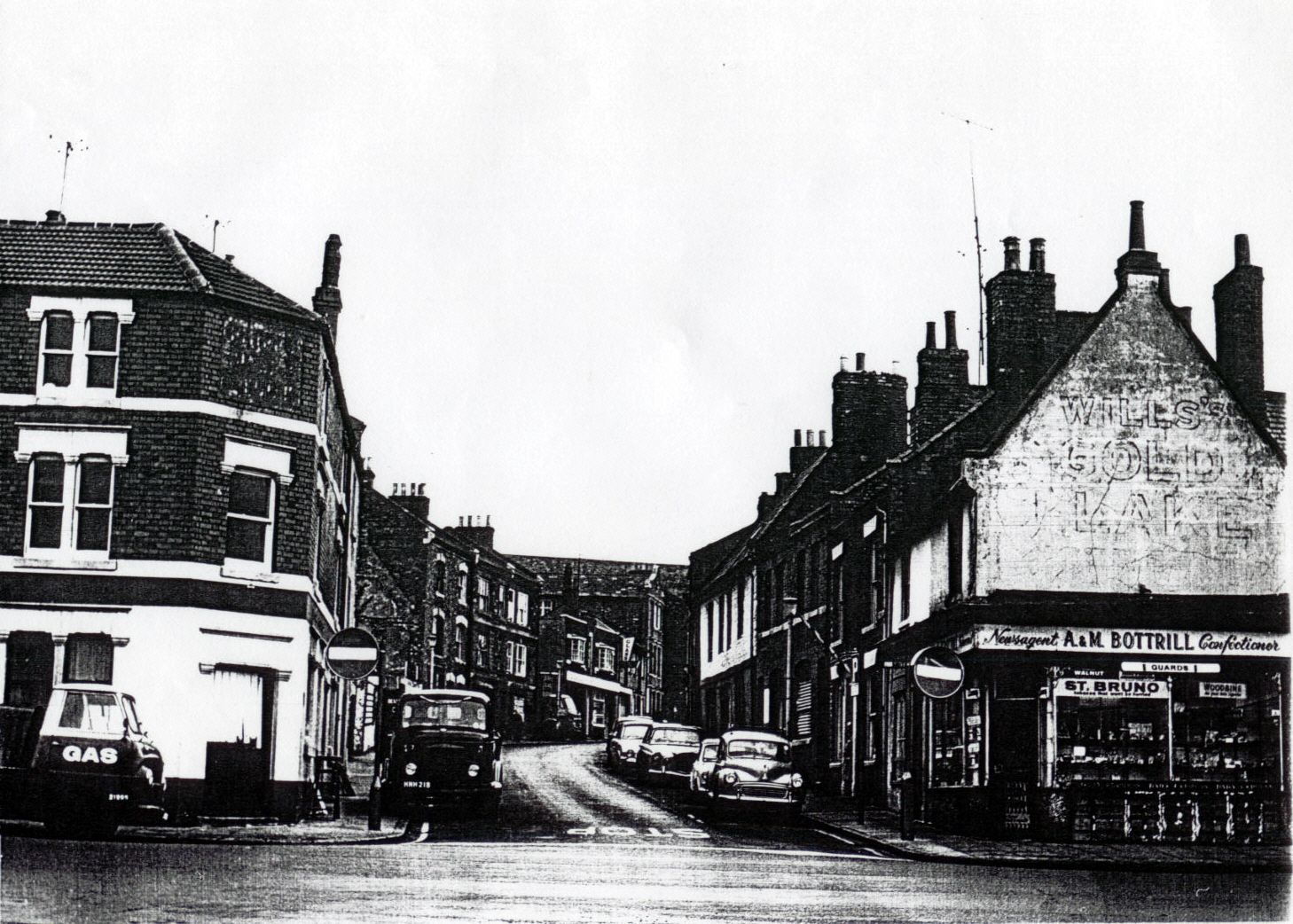
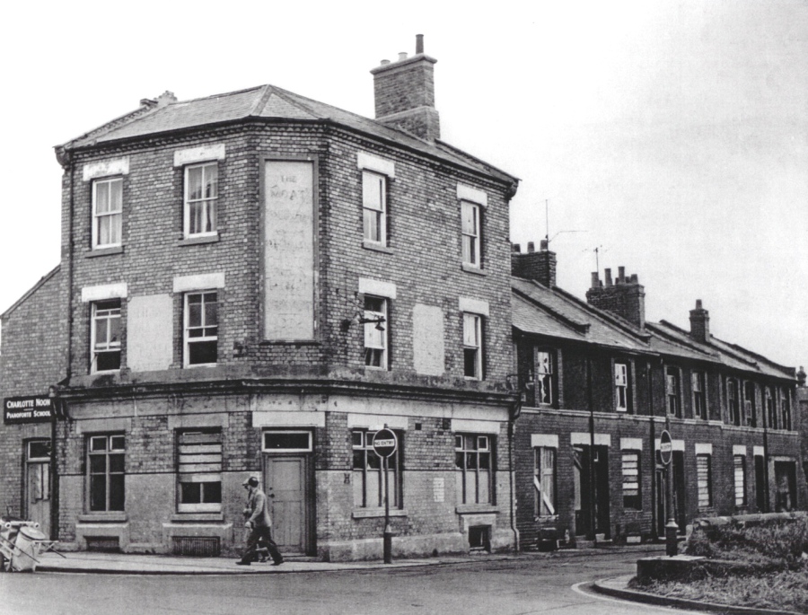
BULL HEAD LANE
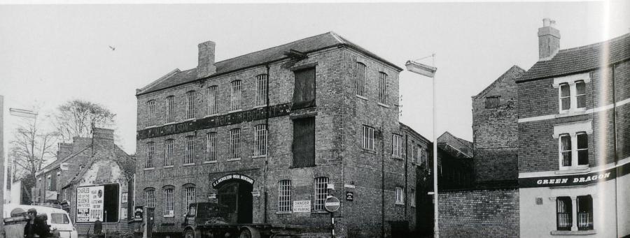
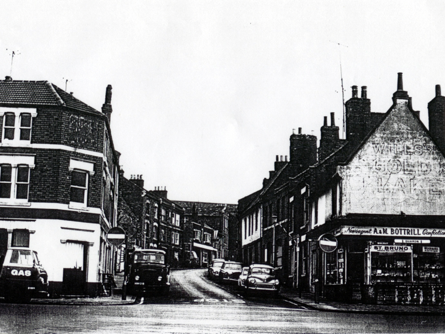
Between Sheep Street and the Mayorhold there were three small thoroughfares, Bearward Street, Silver Street and Bull Head Lane. The "No Entry" sign on this photo
from 1967 (above) indicates the entrance to Bull Head Lane; to the left is Nicholson's Wool Factory and to the right the Green Dragon public house
The view below is from further up Bull Head Lane as it climbs slightly towards Sheep Street. The lane was named after the public house on Sheep Street.